Burley Moor, Burley in Wharfedale
This walk will give your little adventurers a great introduction to moorland rambling!
A fabulous circular walk to the top of the moor and back again!
Burley Moor is the neighbour of the famous Ilkley Moor
But absolutely should NOT be overlooked in favour of it’s far more well known sibling!
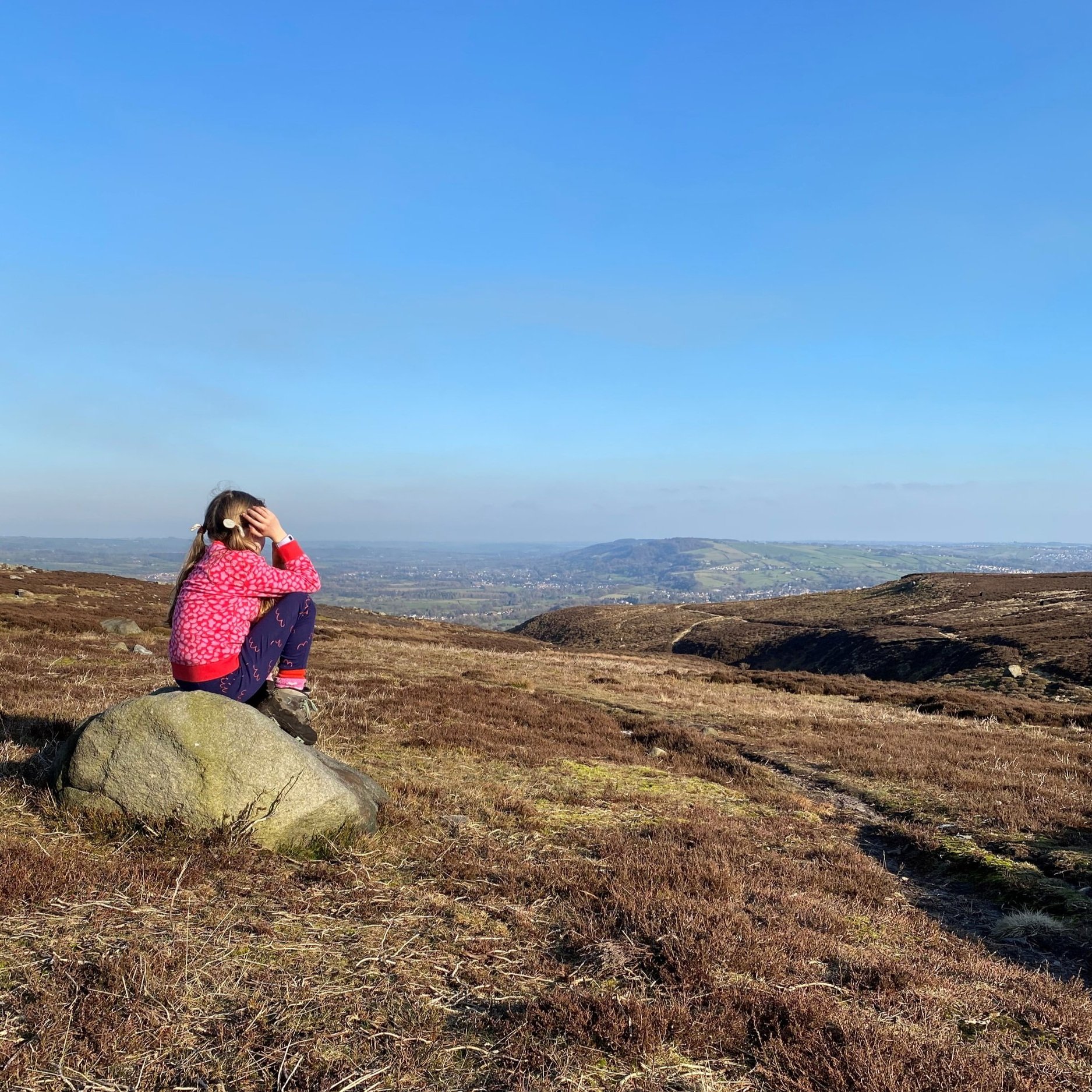
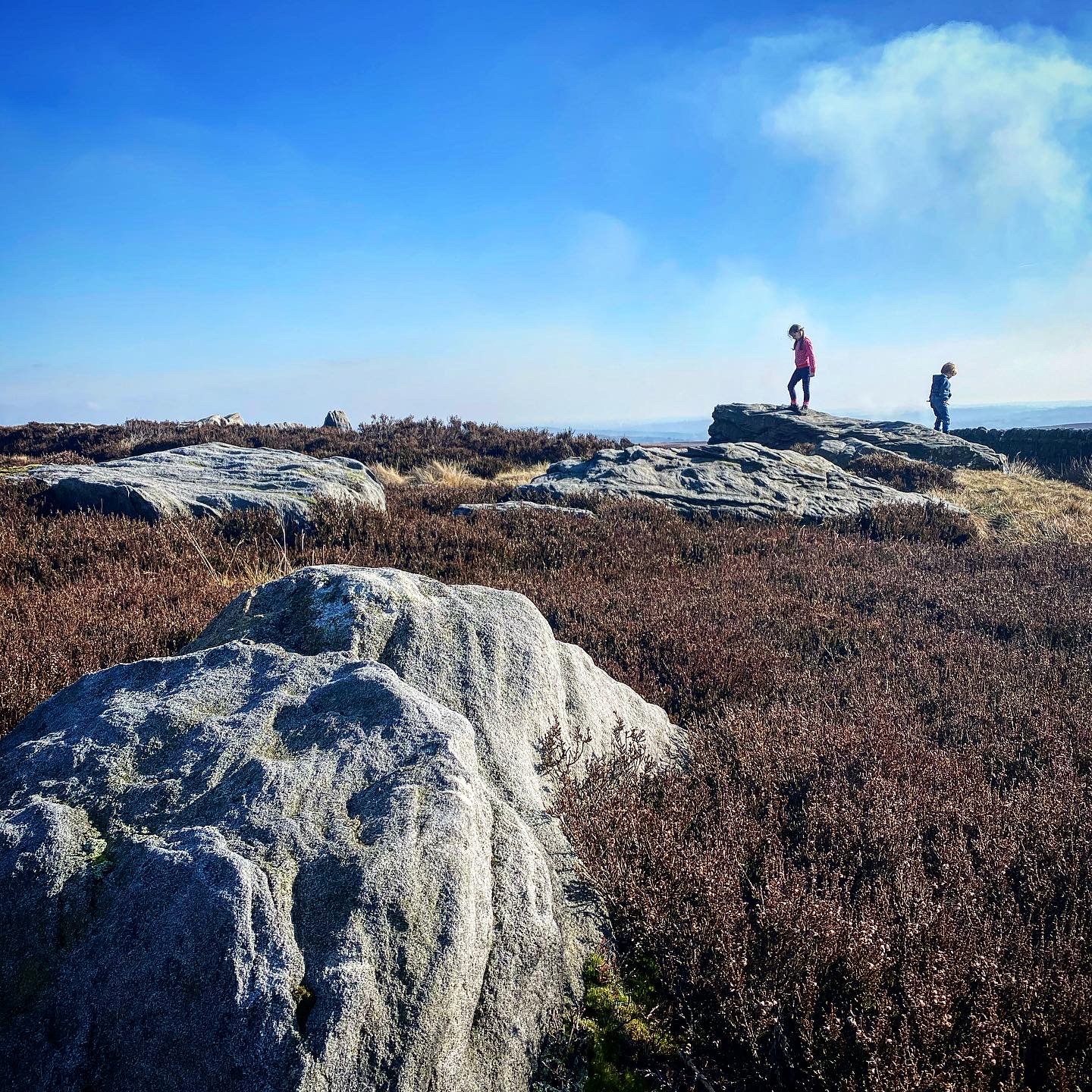
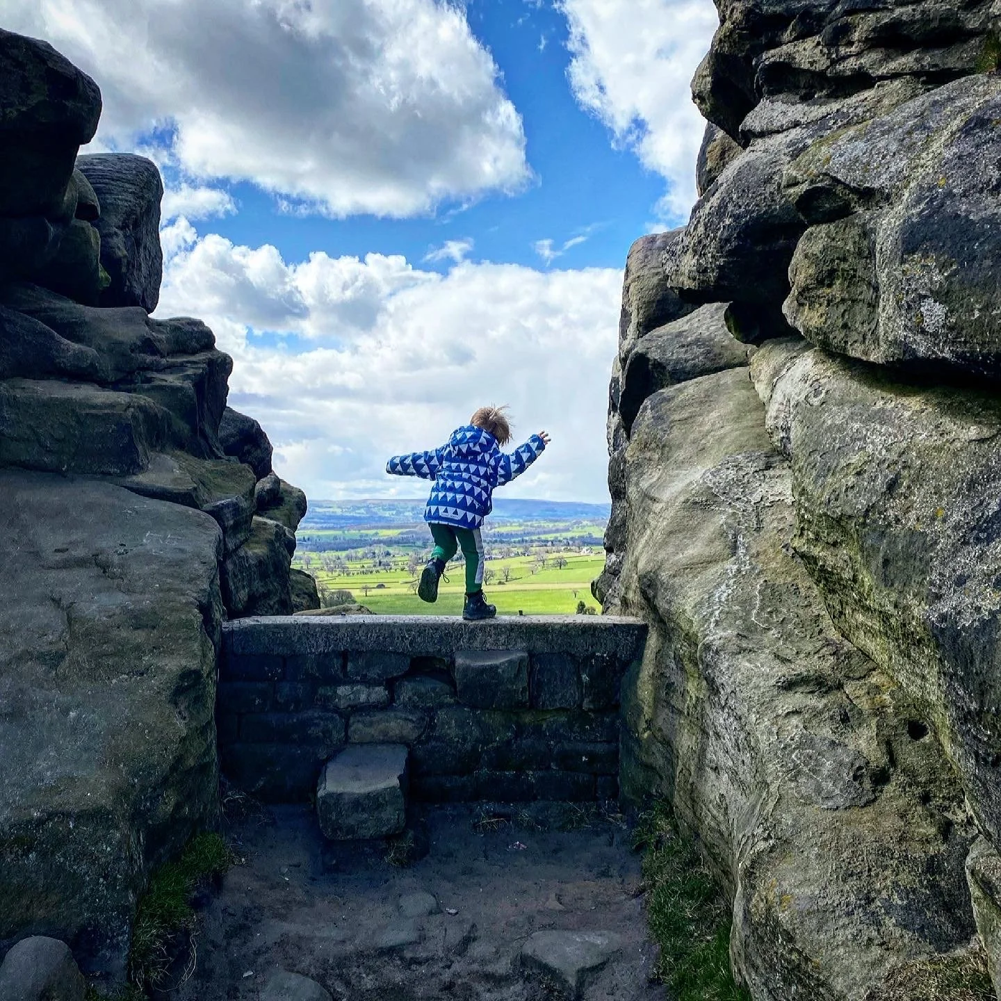
This circular walk will take you to the top of the moor, past lower Lanshaw Dam, and will offer you spectacular views down the valley and towards the Otley Chevin.
Plus, a short walk from the starting point is the Hermit pub!
Walk details for Burley Moor
Distance: 3 miles approximately.
Terrain: Moorland. Uneven in places. 🛑 one short section of path has a steep drop to the edge (less than 100m stretch). Around 240m ascent.
Parking: On street at the Burley Woodhead junction, just be considerate to the residents of Burley Woodhead, abide by the parking restrictions and do not block any gates, pavements or access roads.
Public Transport: Burley in Wharfedale (3/4 mile walk away), there are also regular bus services to Main Street in Burley in Wharfedale
Dog Friendly: Yes
Location: Burley Woodhead, Moor Road.
Map: OS Explorer 297 Lower Wharfedale and Washburn Valley
What 3 Words: shrug.pigtails.impulses
Toilets/ Baby Change: No
Nearest Cafe/ Amenities: The Hermit pub at Burley Woodhead or Burley in Wharfedale
Directions to Burley Moor
The start point for this walk is at the triangular junction at Burley Woodhead, where Moor Lane meets Moor Road.
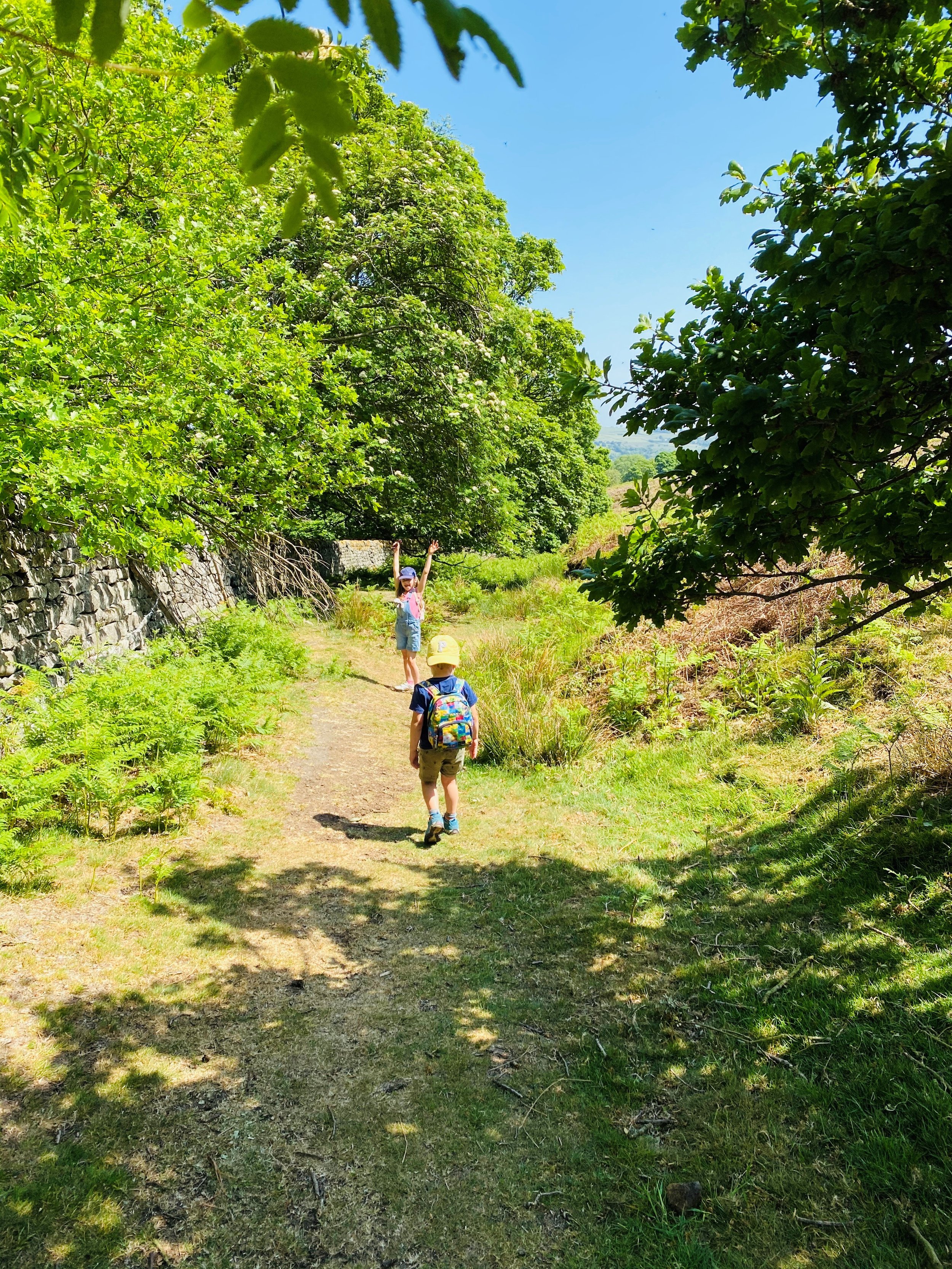
From the triangle, cross Moor Road to the fence at the edge of the Moor. Proceed through the gate. The path leads directly upwards from there, through two large gorse bushes. The path is wide and easily identifiable. As is the case with most of the Burley/ Ilkley/ Rombalds range, there are offshoots of paths everywhere, a lot of which are not on the map, so make sure you stick to the main route. The path to Lower Lanshaw Dam heads upwards and in a general right direction.
As you climb, you will notice a house to your left. Here, take the right hand fork (the left hand leads leftwards towards Crag Top and Carr Bottom Reservoir). The path you want, continues upwards, veering to the right.
The path continues along the top of Barks Crag, and again forks. This time, you need to take the left fork (the right will take you along and down to Coldstone Beck). A little further along you reach a 4 way crossroads in the path. Here, take the ‘straight on’ of the 3 options. This is a wide clear track, and will continue rising towards Lower Lanshaw Dam.
Lower Lanshaw Dam will appear on your left, and you will not be allowed to walk past it without a play I’m sure! Once you have explored, if you want to cut the walk short at this point, continue along the path for another 200m past Lower Lanshaw Dam, before taking the path to your right, which will head sharply back along the other side of the beck. It has a waymarker sign at the junction, and you will be able to see some of the grouse butts, lining the way back.
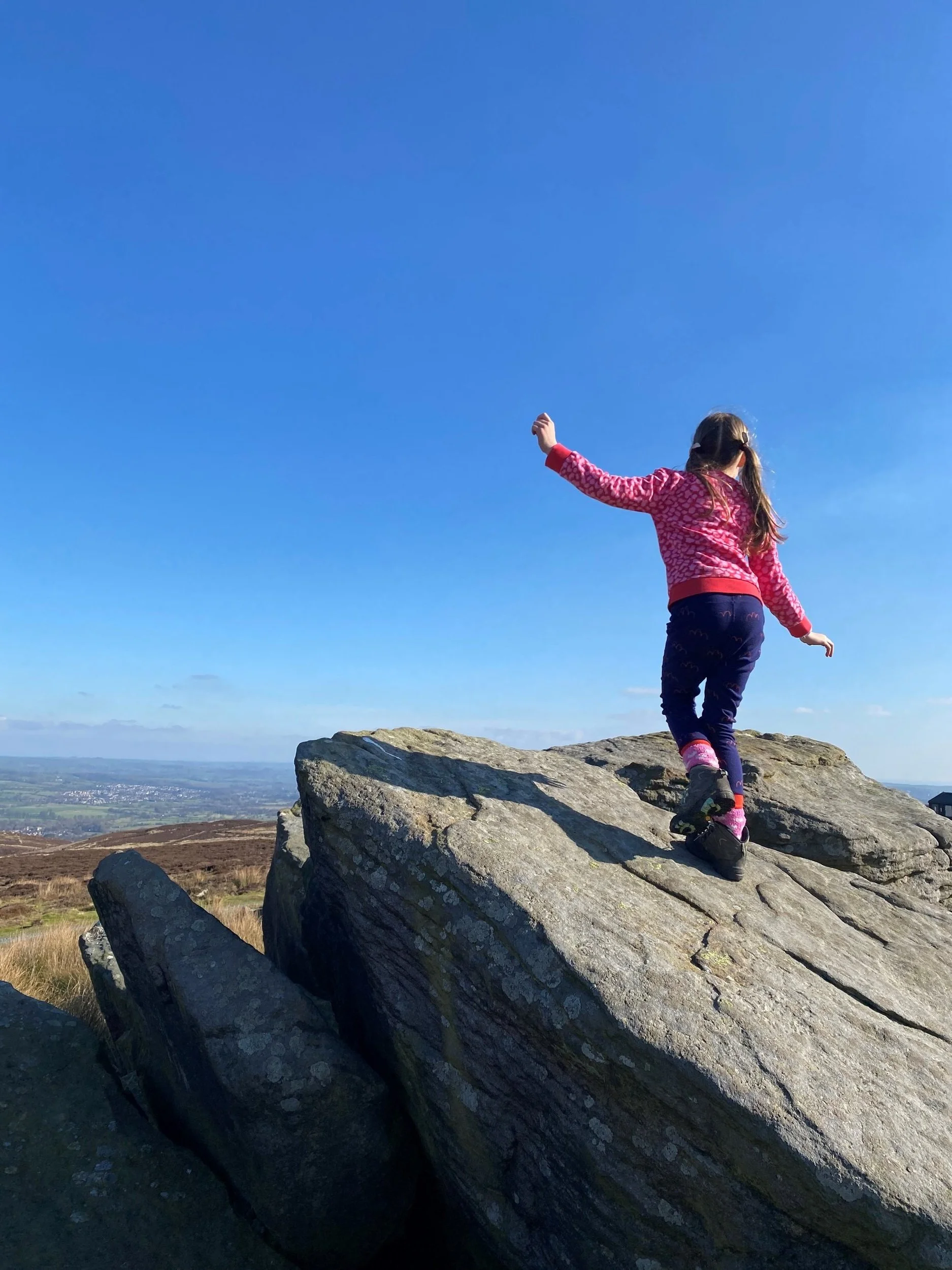
If you are feeling super strong, keep on the path upwards towards the giant rocks of Burley Moor, which are great for climbing on!
To head back, double back on your route up from Lower Lanshaw Dam until you reach the fork described at point 5. Veer left and head down and left along here.
There is a plethora of paths which all lead back along the other side of the beck. As long as you continue to head mainly downwards, keeping the beck parallel to your right, you will end up where you need to be!
Eventually, you will notice the main Dales Way/ Ebor Way track running right-left ahead of you at a T-Junction. At this point, turn right onto it, and follow the path steeply downwards towards Coldstone Beck. The path crosses over the water. Once across, the main track rises steeply upwards directly ahead of you.
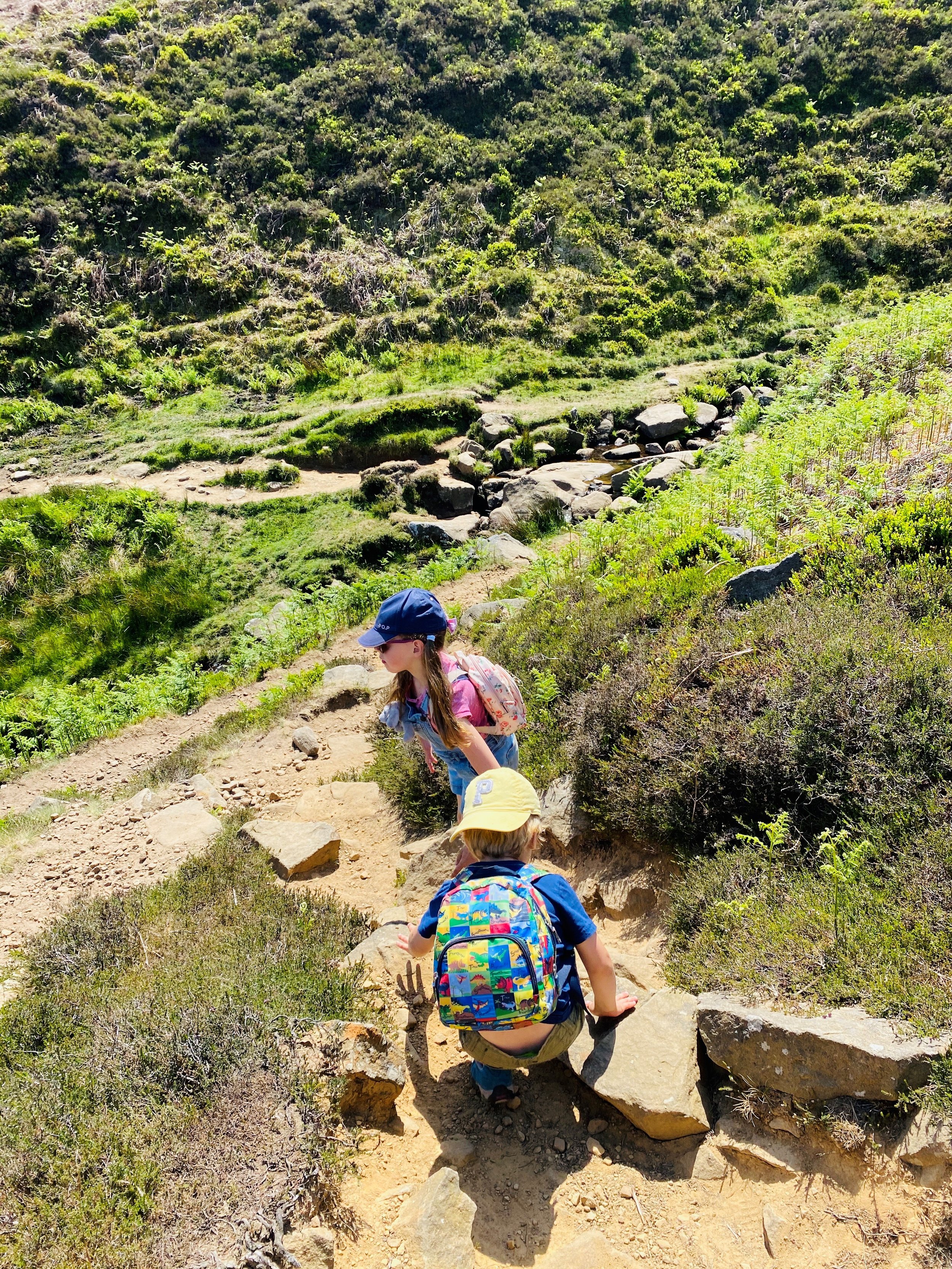
You want to take the smaller path to the left. This is the point at which there is a steep drop to your left. If you’d prefer to miss this out, then carry on up the main track, which will take you up to Barks Crag again, and back down the same way you came up.
If you take the narrow route, this gently descends towards a dry stone walling at the foot of Barks Crag. Follow it along (keeping the wall on your left) all the way until you end up back at the gate you started at. One thing to note, is that in high summer, the lower path can get quite overgrown by ferns. It is still walkable, but again, if you’d rather avoid this, take the alternative route back up to Barks Crag at the fork at the beck and come back along that way.
Last walked December 2022
⭐ We hope you enjoy our walks, but please exercise common sense as routes can change with the weather conditions and seasons! The routes have been walked by our own two feet, but you know your own limits. Always take a back-up map, don’t rely on GPS alone, wear appropriate clothing for the weather and take adequate snacks and refreshments with you (although as a parent, I know you already know that bit!)
⭐ Leave no trace! Take nothing away and leave nothing behind, take all rubbish home with you.
What’s cool for kids on this walk?
💦 There are points where you can get down to the water to throw stones.
🦆 Plenty of moorland birds to spot, so take your binoculars!
🧒 Head down into the village afterwards for a play in the park.
🌳 Want to beat the walking whinges? Why not try one of our walking games? Or you can download a free scavenger sheet!
Want more Ilkley walks?
Burley in Wharfedale is a stone’s throw from Ilkley, so why not check out what else the area has to offer, by looking at our Ilkley walks!
Scroll using the arrows for all our Family Friendly Walks
Follow us for up to date Outdoors Adventures!
We live and BREATHE the Yorkshire Dales outdoors life!
BEEN INSPIRED? Tag us @reluctantexplorers
Come follow our journey over on Instagram, Facebook, Twitter and TikTok, where you’ll find up to date walk info, breaking news on Yorkshire Events, new Yorkshire Dales wild swim spots, climbing, caves and more!
Follow us on Social Media for all the up to date info: @thereluctantexplorers

