Stainforth Force and the Hoffman Kiln
The Hoffman Kiln and Stainforth Force in one circular walk.
I don’t need to say any more because this one is an absolute BELTER. Set aside your whole day, because there is so much to explore!
Have you heard of the Hoffman Kiln?
Ok…. Who wants a walk with a stonking waterfall with an abandoned lime kiln chucked in for good measure?
You?! Of course you do!
This walk begins and ends in Stainforth, takes in the Hoffman Kiln, the Craven Lime Works Trail and the famous Stainforth Force. In winter, it is atmospheric and stark, particularly if you can get it on a sunny winter’s day and the waterfall is roarsome! In Autumn you might be lucky enough to see the salmon leaping up the falls. In Summer…….. well I’m not gonna lie, if you visit on a hot sunny day you’ll get nowhere near the falls themselves. Let’s just say….. it’s popular with swimmers!
But it doesn’t just stop there. As a Mum of a kid who LOVES a digger, or a train, this walk takes you past a working Paper Mill and the Settle to Carlisle Railway line too, so it’s got bags of Industrial beauty too (and maybe an odd train!)
So for a walk that takes in Industry, both old and new, against the BEAUTIFUL backdrop of the Yorkshire Dales, then read on! (And for all the interesting fact-y bits…. scroll down)
Walk details for Stainforth Force and the Hoffman Kiln
Distance: 4 miles
Terrain: Well signposted route. Defined footpaths.. Some brief road walking at the start, and there is the necessity to cross a road in the middle. Otherwise grassy tracks with minimal ascent. This route can get extremely muddy after wet weather so be prepared!
Parking: Stainforth Pay and Display.
Public Transport: There is a bus service that runs to Stainforth. Check out the Dales Bus Service for more information about timetables.
Dog Friendly: Yes, although to be kept on leads around the Craven Lime Works.
Location: Stainforth, the Yorkshire Dales. Just outside of Settle.
Map: OL02 Explorer Yorkshire Dales Southern and Western.
What 3 Words: share.relocated.grading
Toilets/ Baby Change: Stainforth Pay and Display Car Park
Nearest Cafe/ Amenities: Stainforth is a small village which has a local pub, Settle is a 5 minute drive and has loads of places to eat, drink and shop in the town centre.
Directions to the Hoffman Kiln and Stainforth Force
Beginning from Stainforth Pay and Display, head out of the car park and turn left. You need to turn left again, and head down the B6479 in the direction of Settle. This part of the walk is on a pavement, running alongside the road on the left hand side. After crossing a minor road, and after 500 yards, there is a stone stepped stile crossing a dry stone wall to your left. You need to take this, and head into the field.
This is a grassy field, and there are some clear tracks in the grass, you need to take the one that’s on the far right, it heads over a little lumpy bit, and then downhill, cross the little stream, and then you’ll see a ladder stile. Head across the next field until you come to a stile. This takes you into the Craven Lime Works Trail, and you’ll see an information board on your right as soon as you head in.
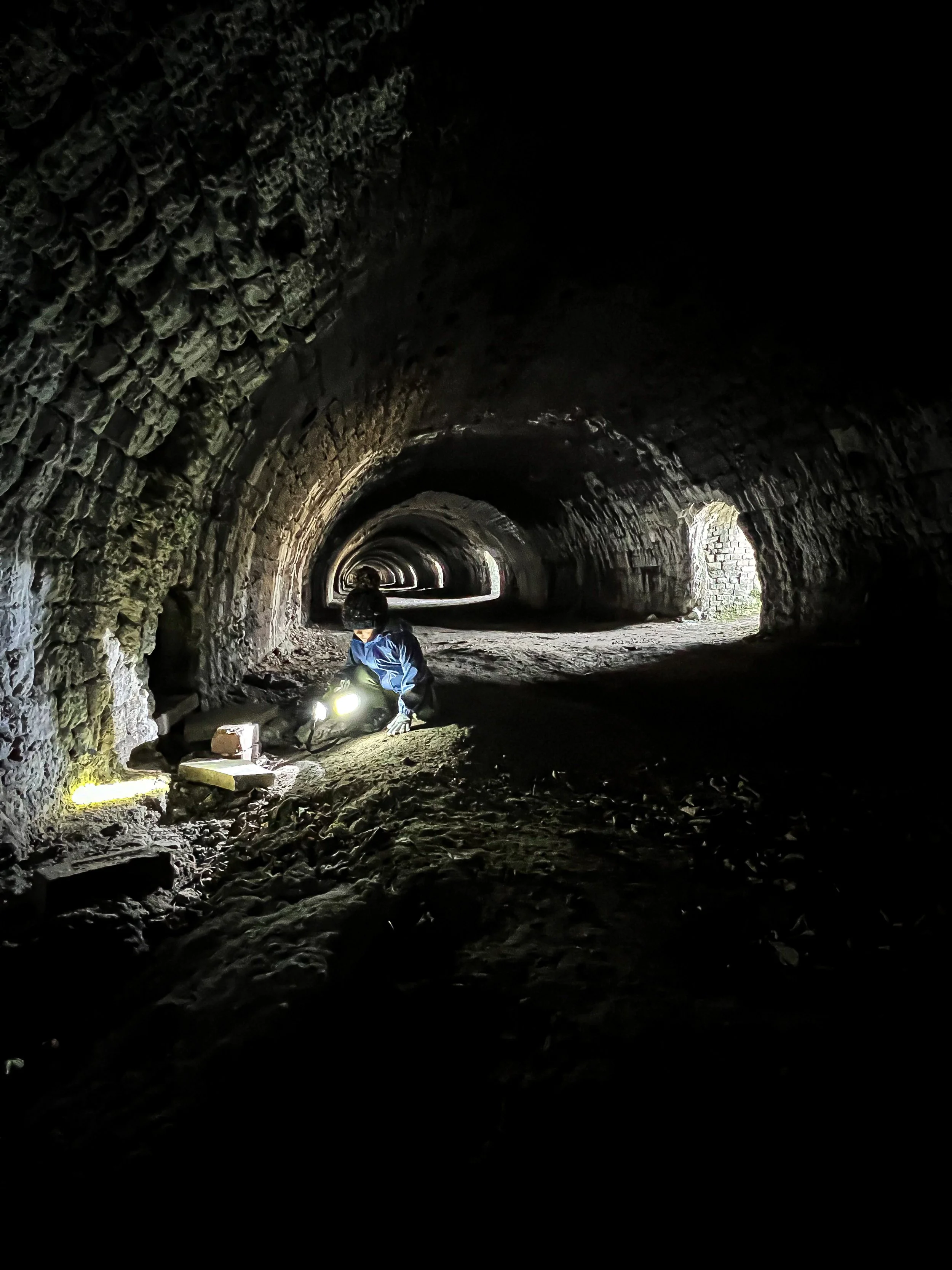
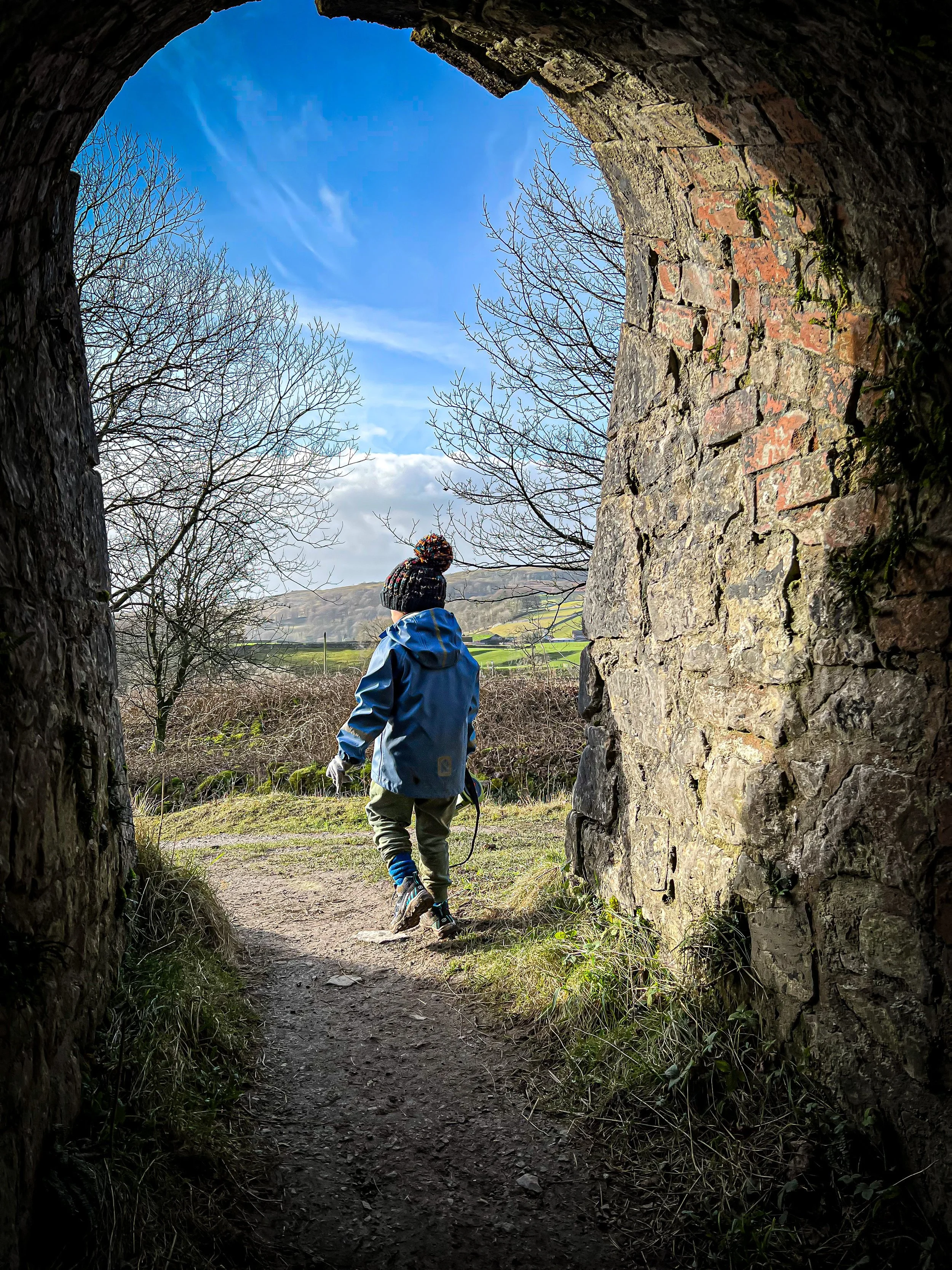
EXPLORE! There is so much to be seen here. The remains of several incredibly impressive stone kilns, train tracks, tramlines, and the crowning glory… The Hoffman Kiln. It’s a protected site with loads of information boards dotted around it, so take it all in and enjoy!
Once you have enjoyed the trail, head out to the far end of the limeworks trail. At the time of writing and walking, there was some construction work being carried out here, and the footpath was a little diverted. But it was insanely clear, you would never miss it! And in usual circumstances it is very well signposted too!
The path reaches the railway bridge on Hoffman Kiln Road (there’s another information board here). You need to continue straight on across the other side of the road, keeping the railway to your right. The footpath is signposted Langcliffe. It’s a wide stoney track, you can’t miss it! Soon after, it turns grassy (and if it’s wet, a tad muddy!) keep heading on until you reach another ladder stile and cross that, following the grassy path on the other side.
After passing through a little gate in a wire fence, you will reach another ladder stile (feels familiar right?!) Here you will get amazing views across towards Warrendale Knotts, and in the next field you’ll reach a stone stepped stile. Cross this, and immediately on your right, is a gate signposted public footpath. Take this, and head down the fenced pathway. There are a few steps here, and it descends to another gate at the bottom.
Turn left along a wide track until you reach the road. Turn right along the path that heads over a wooden bridge, crossing the railway lines, and then cross the road, to the little access road opposite. There is a bench right at the top of it. Head down this (it’s extremely quiet). At the bottom, you will reach a weir and a house. The clear footpath heads into a small cluster of shrubbery, and then over a footbridge to your right. At the other side you’ll see a signpost with a yellow waymarker pointing right.
Turn right! The footpath is momentarily cobbley, and then you’ll see a signpost to Stainforth Foss. Head through the gate, and then take the footpath, keeping the river to your right. It heads through the several fields, another gate in the stone wall, and then, it crosses a stile to a wooded path. I’ll warn you, that this bit it MUUUUUUUDDDDDYYYY!
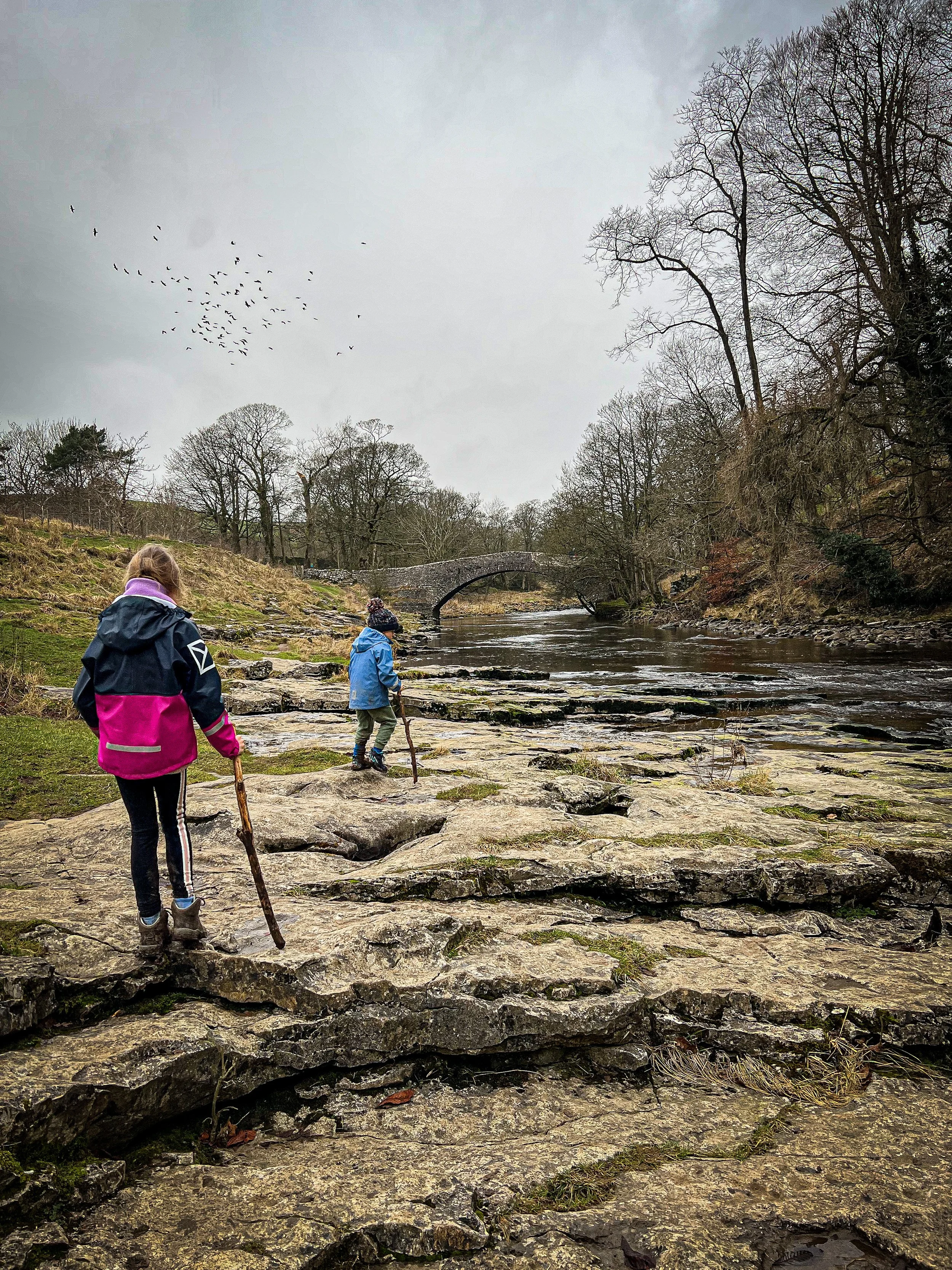
You’ll pass the paper mill on your right on the other side of the river, if you have a digger fan, enjoy the machinery there! Then quite simply, follow the river! There are several stiles to cross, and there’s a cool stream the appears out of nowhere (presumably the outflow of one of the caves of Giggleswick Scar, which is to your left) but it will eventually reach the caravan/ campsite at Stainforth.
At this point head right through a gate in the fence (it is marked by a information board about the Stainforth Woodland), turn left, and continue along the path until you see Stainforth Force waterfall.
Head towards the ancient packhorse bridge crossing the river, and then turn right. Head up the very quiet access road until you nearly reach the main road. At this point, there is a gate to your right, which takes you on a path heading right back to the car park at Stainforth. There’s a picnic spot. Just make sure you don’t head across the road, but pass on the path going under the bridge!
Last walked in February 2022.
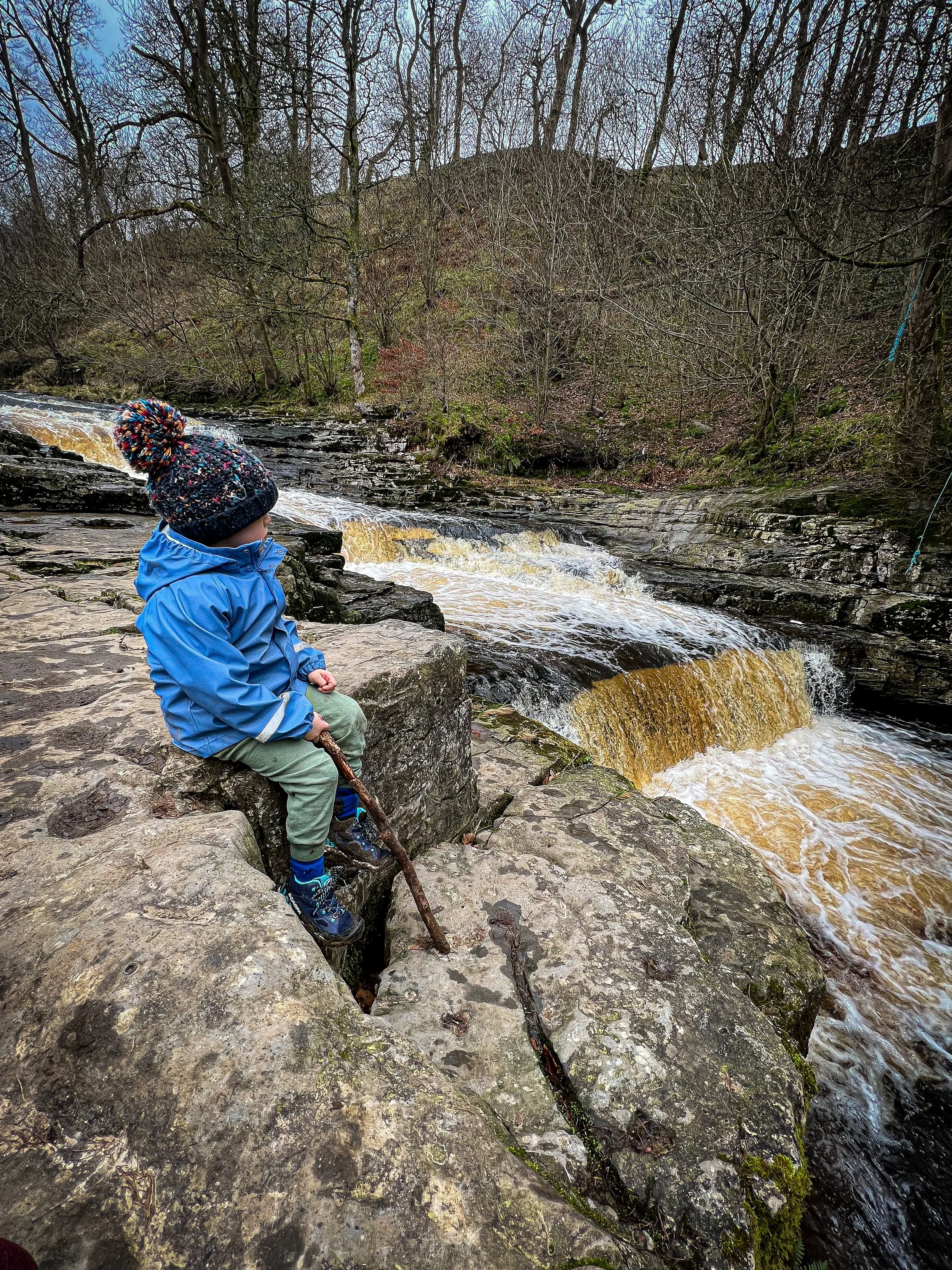
The top of Stainforth Force waterfall
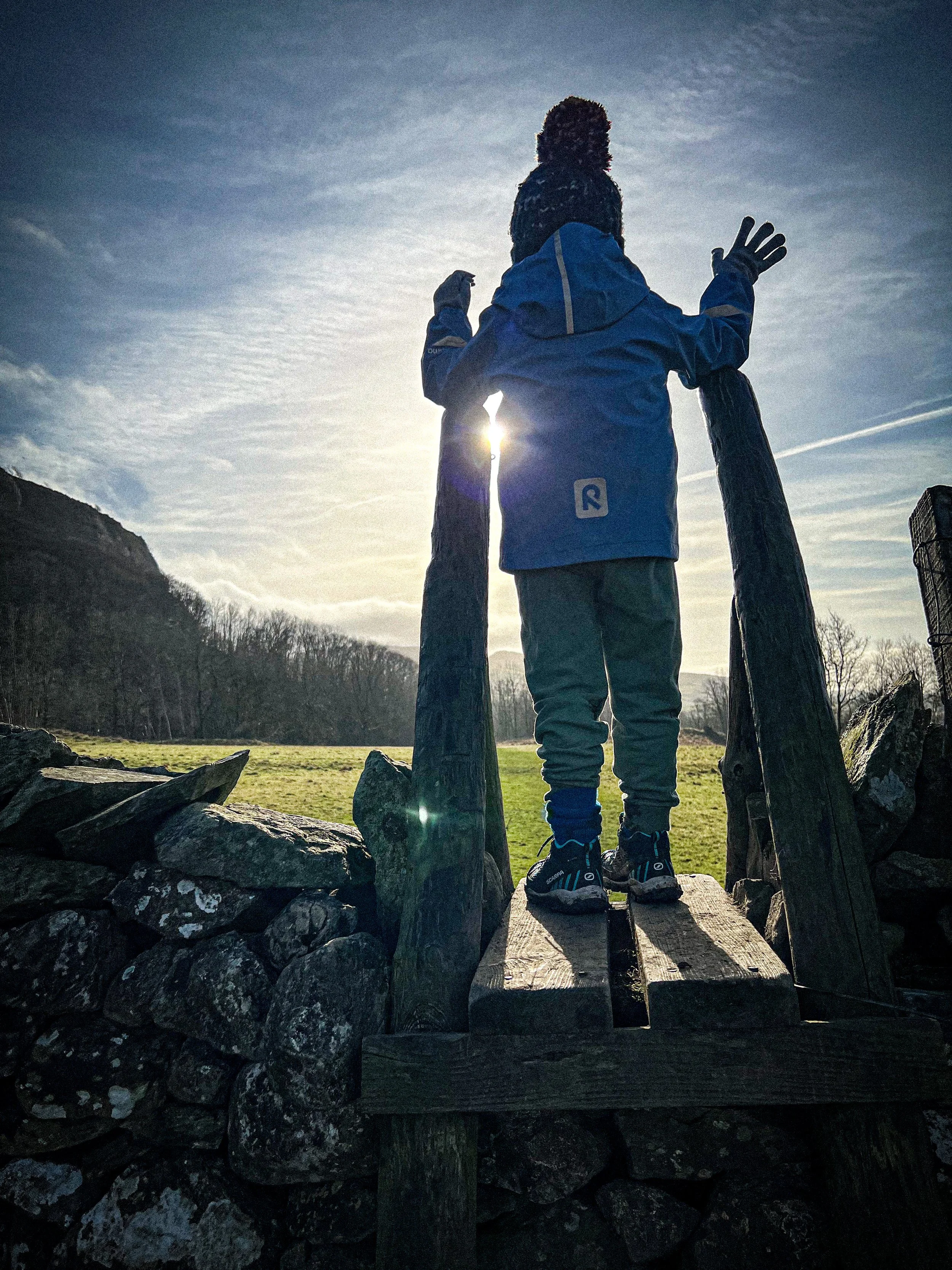
The stile on the path heading towards the Crave Lime Works Trail.
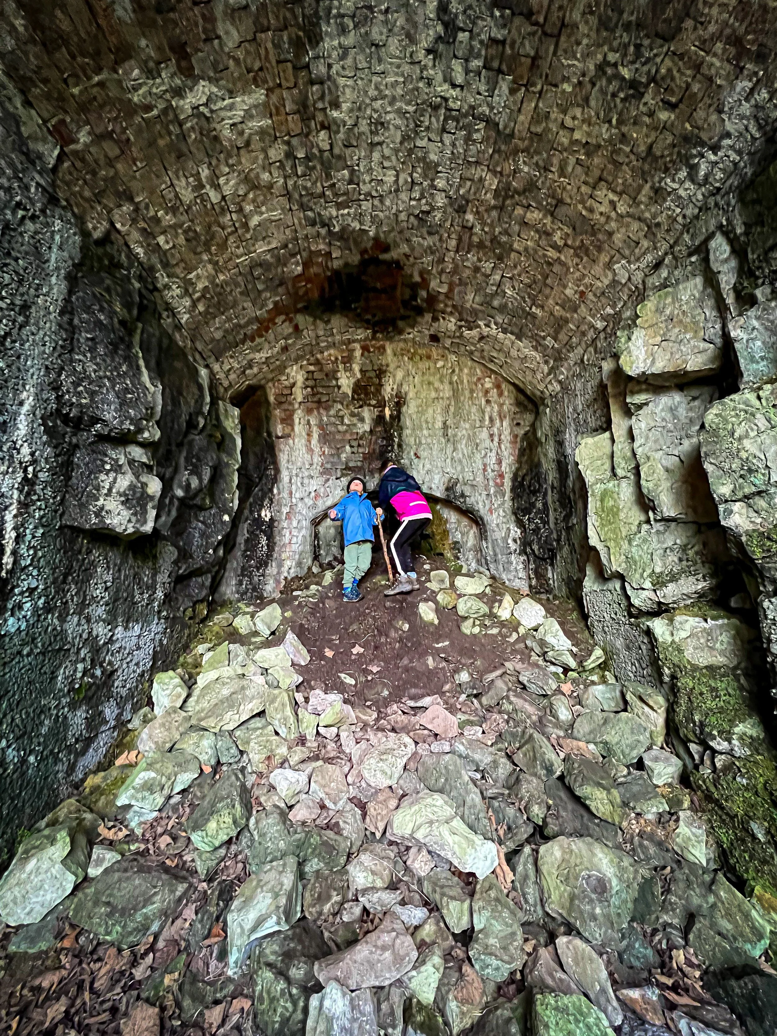
One of the abandoned kilns
What’s Cool for Kids on this walk?
📚 The Craven Limeworks trail, including the Hoffman Kiln is a pretty special place. The main event itself is one of only a few remaining in the whole country! The information boards dotted around the trail will be able to fill you in with all of the history bits, but in terms of kids, the kiln itself is a MEGA place to explore. Plus with it being essentially a preserved industrial heritage site, there are nooks, tunnels, and all sorts to get the imaginations going!
💦 Stainforth Force is epic, and downstream is a popular swim spot. As with all wild swimming, you need to exercise proper caution, particularly in terms of water depths and currents. This is a river and so can prove deadly, if the proper respect isn’t given. Cold open water can kill. We always prefer paddling anyway! Between October and November, Salmon can been seen jumping up the steps of the falls.
👻 Whilst the Hoffman Kiln feels like it is a totally apt place for a ghost to lurk, I can find no legends or ghost stories associated with it (apart from some You Tuber recording a ghostly voice…) What I have found is that Stainforth Bridge, the packhorse bridge just above the falls that you cross towards the end of the walk, is allegedly haunted by a man and his dog….
🌳 There are tonnes of brambles along the edge of the river, so this would be a great a great blackberry picking spot in the late Summer. If you need something to boot out the walking whinges, then why not try one of our Walking Games?
Helpful Information!
⭐ We hope you enjoy our walks, but please exercise common sense as routes can change with the weather conditions and seasons! The routes have been walked by our own two feet, but you know your own limits. Always take a back-up map, don’t rely on GPS alone, wear appropriate clothing for the weather and take adequate snacks and refreshments with you (although as a parent, I know you already know that bit!)
⭐ Leave no trace! Take nothing away and leave nothing behind, take all rubbish home with you.
⭐ If you choose to paddle, be aware of bio security. Always wear clean dry water shoes (if worn) to avoid cross contamination of species between watercourses, this is a particular issue in the Yorkshire Dales, to help protect the white clawed crayfish.
⭐ If you decide to paddle, be aware that wild water can be dangerous, and water levels will vary season to season. Always supervise children around water. Check out the safety information on the Royal Life Saving Society website.
Want to grab the route?
Head to the Ordnance Survey Navigation App where you can download the route!
(Always carry a back up map and know how to use it)
Image is Copyright of Ordnance Survey
Want a walk to tag onto the end of this one?
Catrigg Force is a waterfall walk that starts and ends in Stainforth as well, and can be walked from the end point of this one as a linear walk (if you’re feeling brave of course…. good luck with the kids!)
Set in a little wooded clearing, it’s a beautiful spot to be!
Scroll using the arrows for all our Family Friendly Walks
Follow us for up to date Outdoors Adventures!
We live and BREATHE the Yorkshire Dales outdoors life!
Come follow our journey over on Instagram, Facebook, Twitter and TikTok, where you’ll find up to date walk info, breaking news on Yorkshire Events, new Yorkshire Dales wild swim spots, climbing, caves and more!
Follow us on Social Media for all the up to date info: @thereluctantexplorers

