Cautley Spout Waterfall
Cautley Spout waterfall is a spectacular cascade found near Sedbergh in the Westmorland Dales.
The water tumbling over the rock face makes England’s largest cascade waterfall, standing at 198 metres tall.
Do you want to walk to Cautley Spout?
Because, I mean… why wouldn’t you?! Standing at 198 metres tall, this waterfall holds the title of England’s tallest cascade waterfall. Not to be confused with Hardraw Force, which is England’s largest UNBROKEN waterfall, OR Gaping Gill which is England’s largest unbroken waterfall UNDERGROUND. Phew. Glad we cleared that up.
And also, let’s take a minute to just appreciate that all THREE of the countries’ biggest waterfalls are found right here in the Yorkshire Dales National Park shall we?
Right then, enough about the other waterfalls, lets talk Cautley Spout! This walk is really quite jawdropping. With the gigantic rolling fells of the Howgills towering above you, this walk brings ALL the drama. Including an dramatically steep ascent of the side.
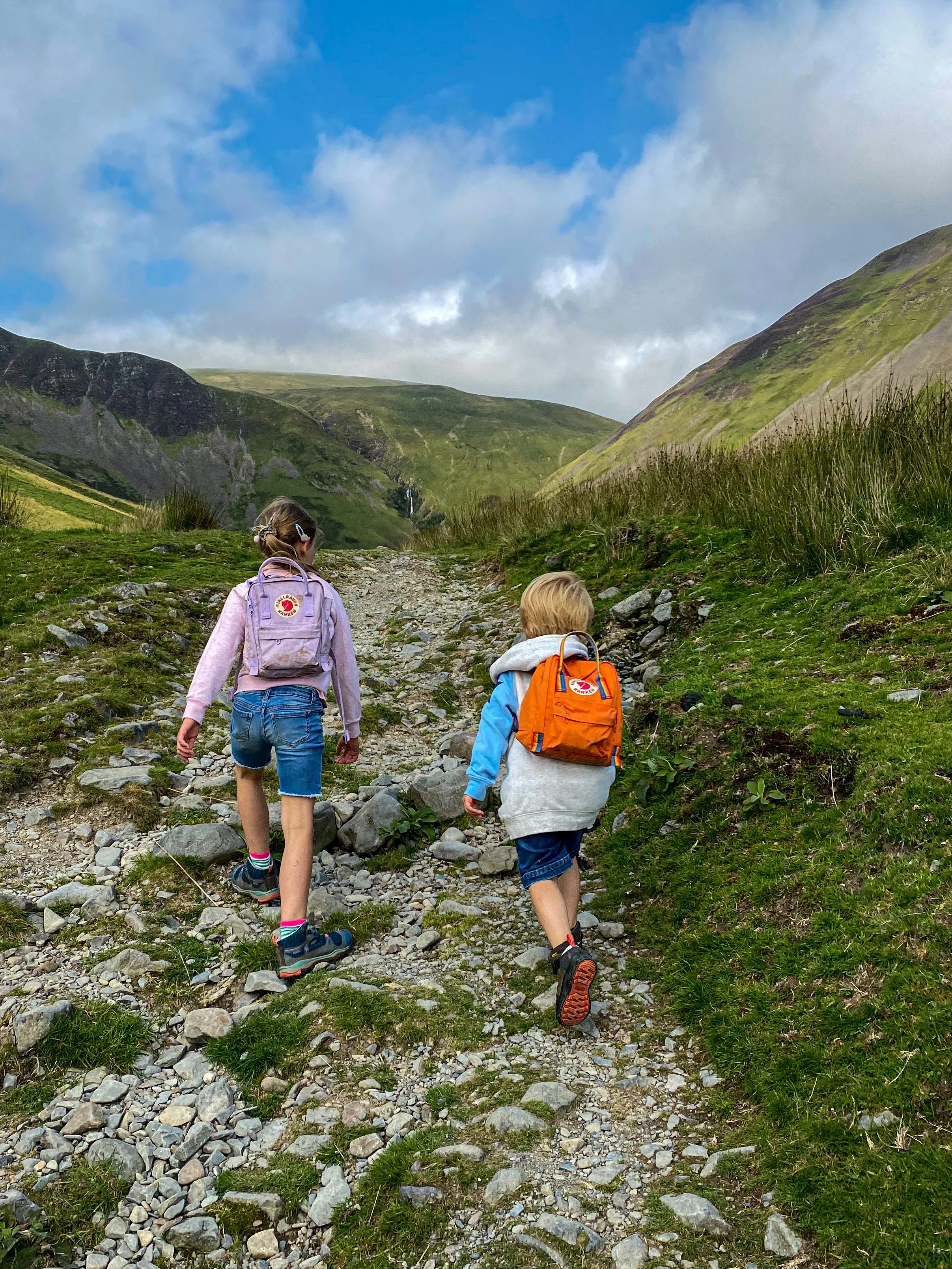
As such, in terms of the family friendly factor this is what we would suggest. For younger explorers, head to the base of the falls to paddle and picnic. They really are stunning, and you’ll get a view of the giant waterfall for the walk along the valley.
For the older explorers, you can take the path up to the top of the waterfall, but we would not recommend doing this in wet or windy weather as the stepped path can be slippery and it is very exposed, with steep unguarded drops. Always check the mountain forecast before heading out.
Ultimately, these are suggestions and you know your own limits. Let common sense prevail!
These walk instructions are a guide only and should be used alongside a map.
Walk Details for Cautley Spout
Distance: 4.5km (just under 3 miles)
Terrain: Very well walked route, uneven ground. The ascent, should you choose to do so, is extremely steep, climbing just less than 200m in half a kilometre. The path up is roughly stepped but has steep unguarded drops and can be slippery underfoot, therefore great care should be taken in the event you do decide to climb.
Parking: By the Cross Keys Temperance Inn. There is only limited layby parking, so if there is no space, why not try another of our walks in the Sedbergh area. Park respectfully and do not block access.
Public Transport: Yes! There is a bus stop right at the start of this route! Check out the bus timetable on the Western Dales Bus website.
Dog friendly? Yes, dogs to be kept under close control as there is grazing livestock.
Location: Howgills, off the A683 road between Sedbergh and Kirkby Stephen
What 3 Words: maybe.beaks.redouble (parking area)
Toilets/ Baby Change: None. The nearest public toilers are in the centre of Sedbergh at Joss Lane Car Park
Nearest Cafe/ Amenities: Sedbergh. For places to eat and drink check out our Visit Sedbergh with Kids Guide.
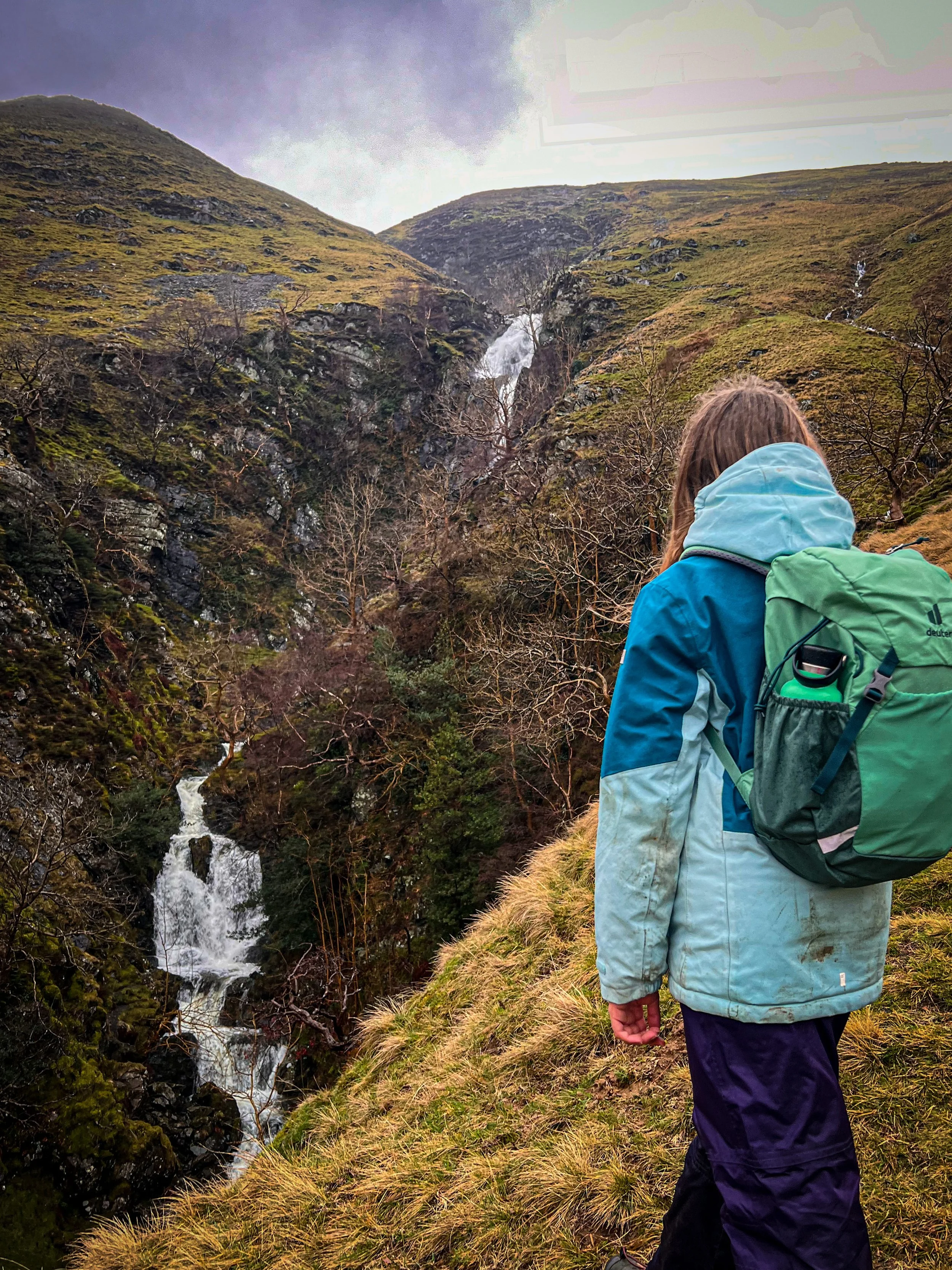
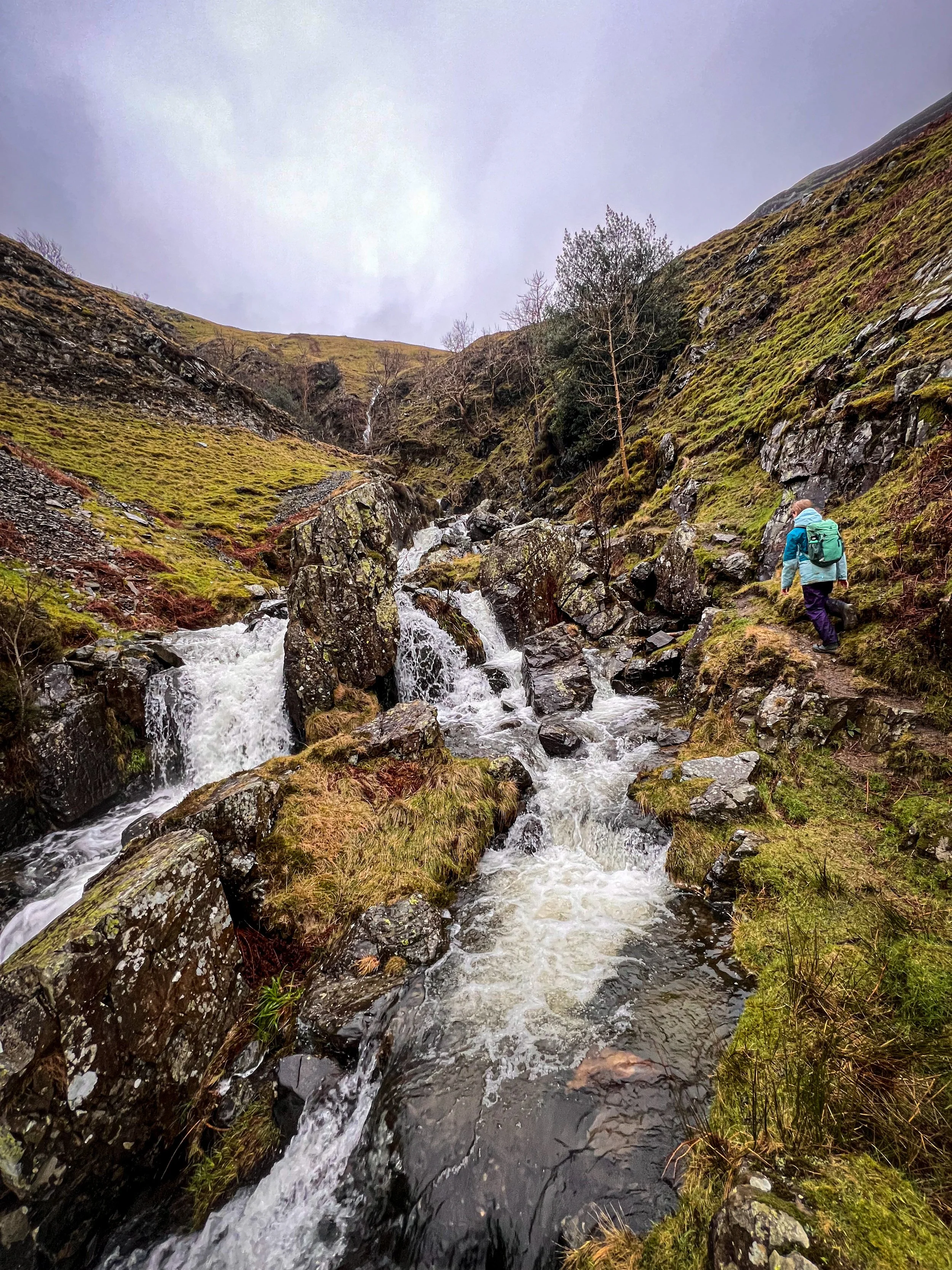
Looking at the falls up close on the path that ascends the waterfall. This is about the mid point of the ascent.
How to walk to Cautley Spout
Directions to Cautley Spout Waterfall (Walk instructions are a guide, only to be used in conjunction with a map)
Beginning at the layby parking at the Cross Keys Temperance Inn, head down the steps next to the bus stop to the wooden footbridge crossing the River Rawthey. Cross the bridge to the other side and turn left.
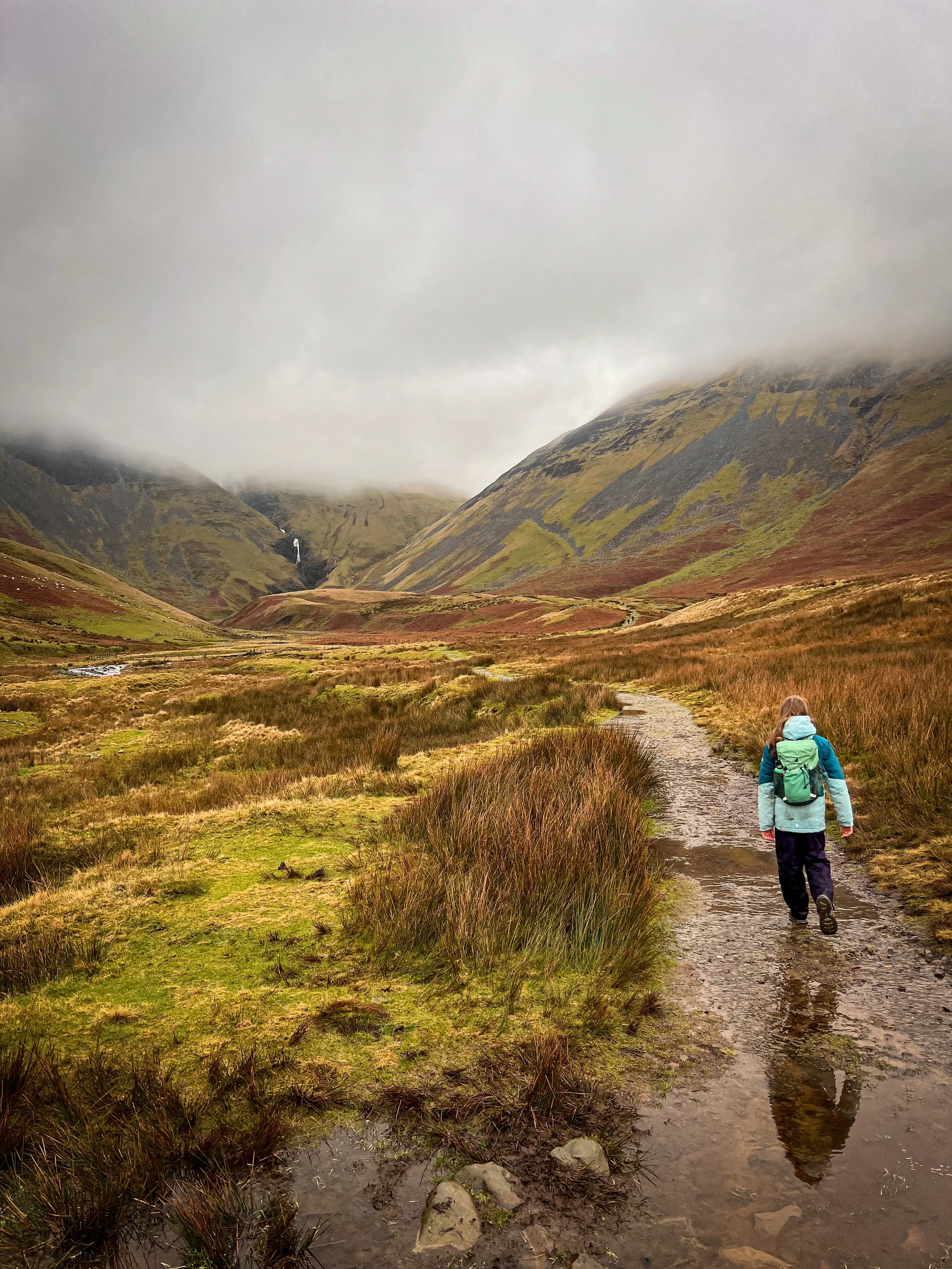
Continue along the path, which follows the river, then as it bends round to the right and enters the expansive glacial valley that leads to the waterfall. In wet weather, the water will be very much visible from the beginning of this walk!
Continue along this path as it crosses several streams (more if you go after very wet weather!) and heads towards the waterfall.
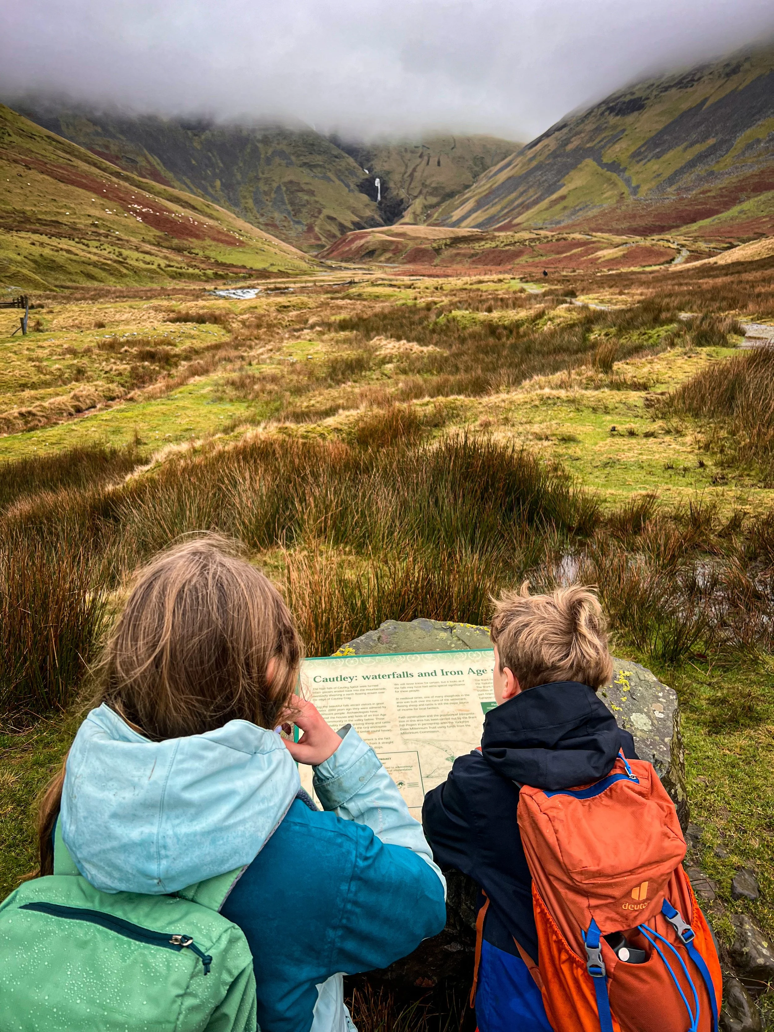
On the approach to the waterfall, you will see an information board telling you about the ancient settlements that once stood before Cautley Spout. Pretty awesome view to wake up to, I say!
If you simply want to head to the base of the falls (you’ll get a pretty decent visual of the steep path upwards, to help in your decision making), then you need to take one of the little offshoot paths that lead to the edge of the beck on your left, as you approach the base of the falls. They begin to appear at around 1km and will lead you down to the waters edge, where there is opportunity to paddle if the conditions are suitable. Once you have explored, head back the way you came!
To head up to the top of the falls, follow the steep stepped path to the top. You will have reached the top, when the path crosses the beck, which makes for a pretty picnic spot with a spectacular view.
Once you have taken in the view, you need to head back to the bottom, just the same way you came.
Walked four times, most recently February 2024.
The information board in the valley looking towards Cautley Spout
One of the waterfalls at the base of the main waterfalls if you don’t fancy the ascent.
What’s cool for kids at Cautley Spout?
✨ This is a cool place to explore! With LOADS of history to learn about too! The whole valley into which Cautley Spout flows, was scoured out by huge glaciers making it super dramatic with steep grassy sides. Archeololgists have also found the remains of an Iron Age settlement, with a stone edged track leading all the way to the base of the falls where it stops. What this shows is the waterfall was super important to those settlers…. perhaps they were waterfall admirers too!
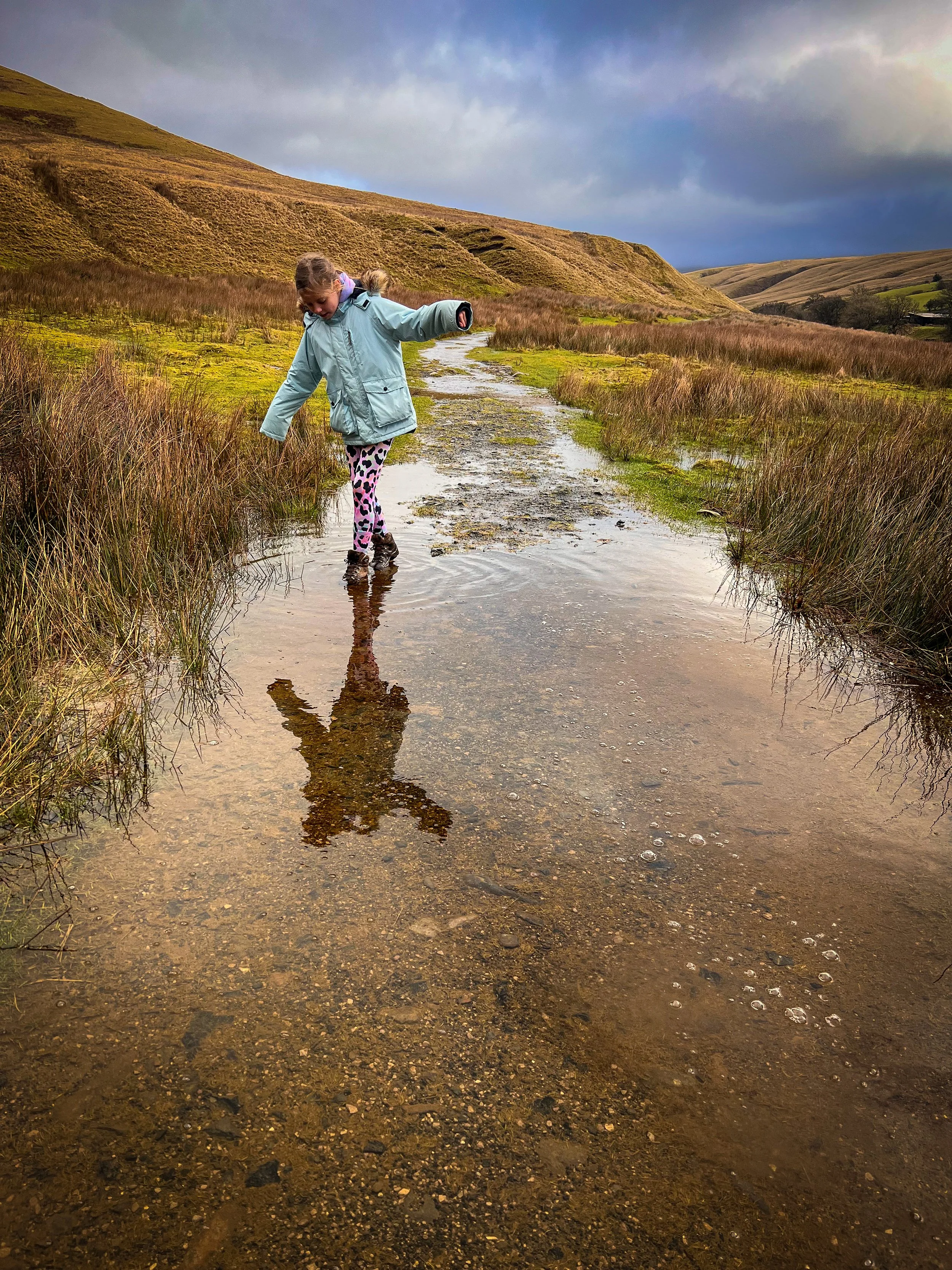
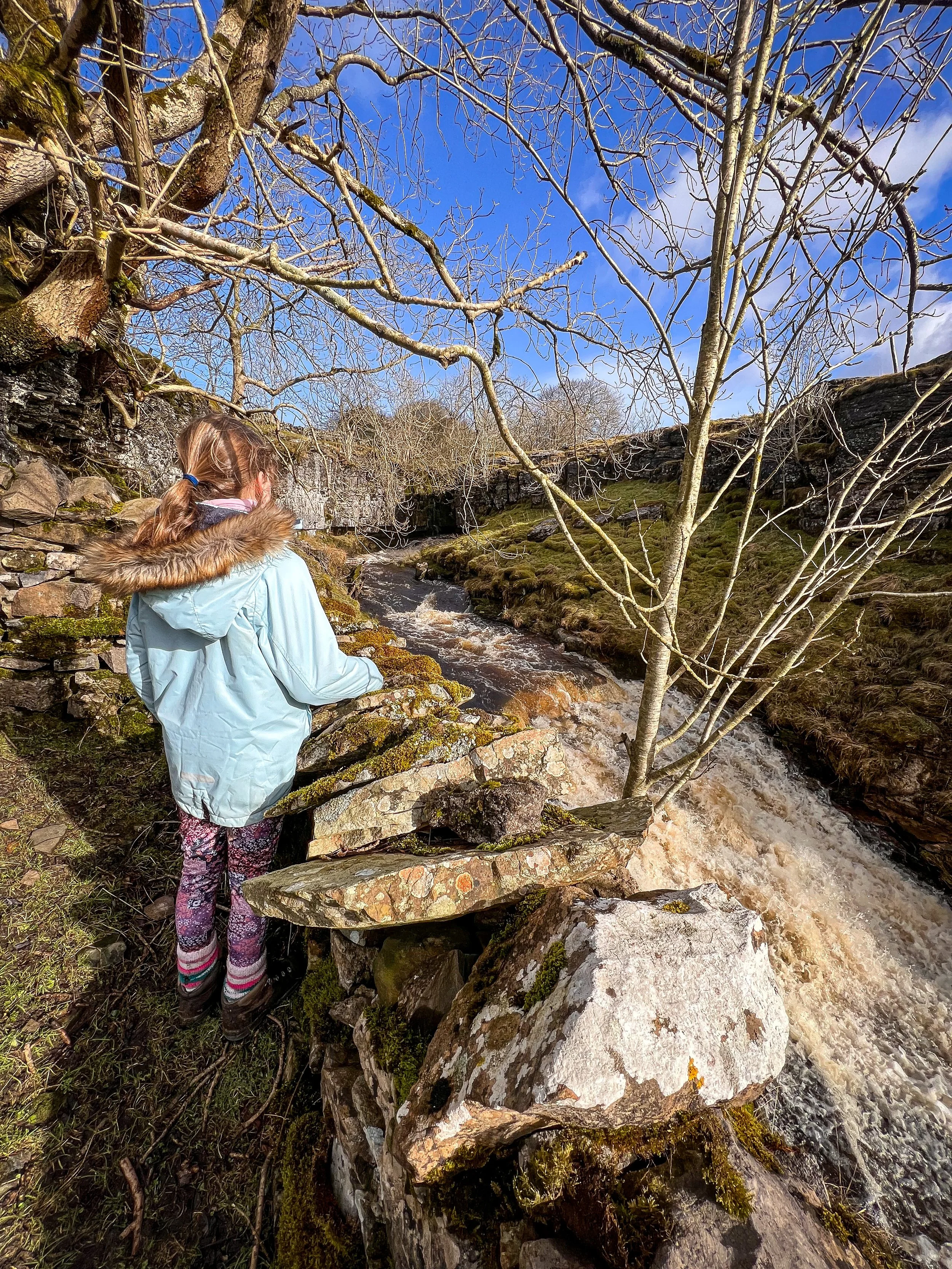
💦 This is a perfect picnic walk! The waterfall is located on access land and so you are able to make your way to the edge of the water for a paddle and a picnic! Just remember to take all your rubbish home and leave no trace. BBQs are also not permitted inside the National Park.
🌳 why not try one of our walking games? Or you can download a free scavenger sheet!
Want to grab the route?
Head to the Ordnance Survey Navigation App where you can download the route!
(Always carry a back up map and know how to use it)
Image is Copyright of Ordnance Survey
Helpful Information!
For more helpful information head to our safety tips and advice page.
⭐ We hope you enjoy our walks, but please exercise common sense as routes can change with the weather conditions and seasons! These walks are intended as a guide only and are undertaken at your own risk. The routes have been walked by our own two feet, but you know your own limits. If in doubt, turn back. Always take a back-up map, don’t rely on GPS or your phone alone, wear appropriate clothing for the weather and take adequate snacks and refreshments with you (although as a parent, I know you already know that bit!)
⭐ Leave no trace! Take nothing away and leave nothing behind, take all rubbish home with you.
⭐ If you choose to paddle, be aware of bio security. Always wear clean dry water shoes (if worn) to avoid cross contamination of species between watercourses, this is a particular issue in the Yorkshire Dales, to help protect the white clawed crayfish.
⭐ If you decide to paddle, be aware that wild water can be dangerous, and water levels will vary season to season. Always supervise children around water. Check out the safety information on the Royal Life Saving Society website.
More Westmorland Dales walks please?
We have a whole section of the website dedicated to walks in the Westmorland Dales area, including Sedbergh, Dentdale, Ravenstonedale and Mallerstang. Check out what’s on offer by heading to our walks page (simply tap the button below!)
Scroll using the arrows for all our Family Friendly Walks
Follow us for up to date Outdoors Adventures!
We live and BREATHE the Yorkshire Dales outdoors life!
Come follow our journey over on Instagram, Facebook, Twitter and TikTok, where you’ll find up to date walk info, breaking news on Yorkshire Events, new Yorkshire Dales wild swim spots, climbing, caves and more!
Follow us on Social Media for all the up to date info: @thereluctantexplorers

